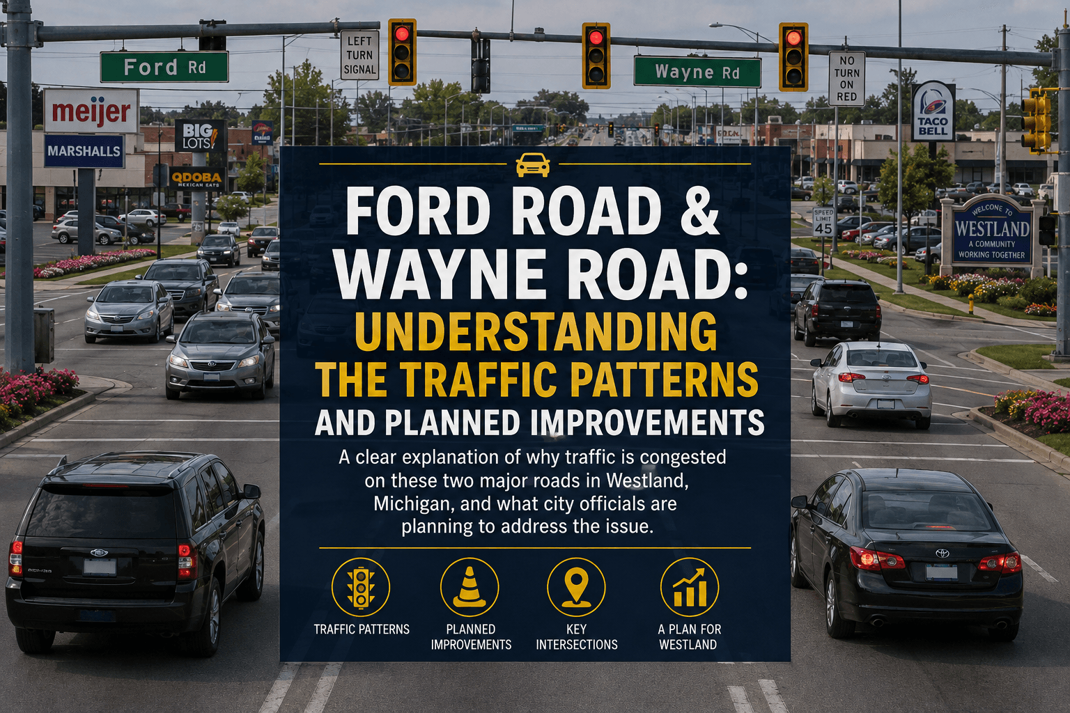
Ford Road and Wayne Road: Why Westland Traffic Gets Stuck and What’s Being Done About It
Two of Westland’s busiest roads carry tens of thousands of vehicles a day. The city and its transportation partners are planning signal upgrades, streetscape work and redevelopment but will those changes actually move traffic?
WESTLAND, MI - If you drive through Westland regularly, you probably have your own theory about where traffic goes wrong.
Maybe it's Ford Road at Wayne.
Maybe it's Wayne Road near Hunter.
Maybe it's the seemingly endless line of cars trying to turn onto Ford Road.
Or perhaps it's the traffic that builds when one intersection backs up and sends a ripple through the surrounding streets.
The frustration is real. But the reason isn't quite as simple as saying Westland needs "more lanes."
A look at city planning documents, traffic studies and transportation projects shows something more complicated: Westland's major roads are carrying regional traffic, commercial traffic and local traffic simultaneously, while several of the city's most important intersections are operating as bottlenecks.
And officials are pursuing improvements but many of them involve traffic signals, intersection design, pedestrian infrastructure and redevelopment rather than simply widening the roads.
Start with the numbers
According to the City of Westland's Walk and Roll Westland transportation study, Ford Road and Wayne Road each carry approximately 30,000 vehicles per day.
They're not alone.
Warren Road, Merriman Road and Cherry Hill Road also carry roughly 30,000 vehicles per day, while Newburgh Road carries more than 20,000. Hines Drive and Middle Belt Road exceed 46,000 vehicles per day.
That gives some perspective to the daily experience of sitting in traffic.
These aren't simply neighborhood streets.
They are part of Westland's larger transportation network.
The city's study found that many of Westland's major roads function as routes for people trying to reach the region's freeway system, including I-94 and I-96.
In other words, some of the cars sitting beside you on Ford or Wayne may not be headed to a destination in Westland at all.
They're passing through.
Why Ford Road gets so complicated
Ford Road is particularly important because it serves as both a major commercial corridor and a connection between communities.
The Ford Road corridor through Westland has long been identified by the city as an important redevelopment area.
Westland's Downtown Development Authority encompasses all of Ford Road and Wayne Road from Ford Road north to Glenwood.
That isn't accidental.
The city has historically viewed the corridor as one of its most visible and heavily traveled commercial areas.
A previous city redevelopment analysis described Ford Road as a "highly visible, frequently traveled thoroughfare" that helps shape Westland's identity. Planned improvements have included streetscaping, lighting, landscaping, pedestrian improvements and redevelopment.
That creates a difficult balancing act.
Westland wants Ford Road to be attractive, walkable and economically successful.
But every new business, restaurant, apartment or development also has the potential to add vehicles.
And the road already carries a substantial volume of traffic.
The intersection problem
One of the biggest clues to Westland's traffic problems can be found in the city's transportation planning.
Rather than identifying only road widening as the answer, Westland's recently developed safety plan identifies targeted traffic-signal improvements as a priority.
One specific location is Newburgh Road and Ford Road.
The city's plan calls for targeted signal improvements, including modernization of existing traffic lights and retiming and recalibrating signals to function optimally.
That may sound less dramatic than adding lanes.
But traffic engineers know that an intersection can become a bottleneck even when the pavement itself has enough capacity.
A poorly timed signal can create a queue.
That queue blocks the next intersection.
The next intersection backs up.
And suddenly a problem that started at one traffic light appears to involve half a mile of roadway.
Wayne Road has its own bottleneck
The city is also pursuing a specific modernization project at Wayne Road and Hunter Avenue.
According to a 2025 agreement between Westland and the Michigan Department of Transportation, the project includes:
New traffic-signal equipment
Box-span signal configuration
Steel strain poles
Countdown pedestrian signals
Pedestrian pushbuttons
A new traffic-signal controller and cabinet
GPS equipment
Video traffic detection
Signal backplates
Concrete curb ramps
Permanent signing
The project is being funded through the federal Highway Safety Improvement Program, with Westland participating as the local agency.
MDOT's project advertisement lists a completion date of October 16, 2026 for the Wayne Road/Hunter Avenue project.
That's important because the improvement isn't simply cosmetic.
Video detection and modern signal controllers can allow signals to respond more intelligently to actual traffic rather than relying solely on fixed timing.
The goal isn't just to make the intersection look newer.
It's to make it work better.
What about the rest of Wayne Road?
Wayne Road is another major north-south artery, and the city has recognized it as an important corridor for years.
The city's transportation study puts Wayne Road at roughly 30,000 vehicles per day.
And Westland has another piece of the puzzle underway.
Michigan transportation funding documents identify $1 million for Westland streetscape improvements along Wayne Road.
That money is intended to improve the appearance of the Wayne Road corridor.
But streetscape improvements shouldn't be confused with a capacity expansion.
A nicer road isn't necessarily a less congested road.
The real traffic question is whether signal improvements, intersection changes and better traffic management can keep vehicles moving more efficiently.
Newburgh matters to both roads
Here's an important piece of the puzzle that can be easy to miss.
Ford Road and Wayne Road don't operate independently.
They are connected to a larger network that includes Newburgh, Warren, Cherry Hill and other major corridors.
That's why improvements several miles away can sometimes change what happens at a Westland intersection.
The federal government awarded funding for a project along Newburgh Road from Ford Road north through Westland and Livonia to 8 Mile Road.
The project involves modernization of five traffic signals, including upgrades from older fixed-time systems to new box-span signals with vehicle detection and pedestrian pushbuttons. The overall optimization covers 20 signals, including three in Westland.
That is potentially significant.
Because if traffic moves more efficiently along Newburgh, it can affect the amount of traffic spilling onto Ford, Wayne and surrounding roads.
And then there's development
Westland isn't simply trying to manage today's traffic.
The city is also planning for what happens next.
The former Westland City Hall property on Ford Road is being positioned for redevelopment. In 2025, the city solicited proposals from developers for new investment at the former City Hall site. The city's stated redevelopment principles included pedestrian connections, access to Central City Parkway, compatibility with surrounding retail and significant Ford Road access.
That raises an obvious question:
What happens to traffic when more development comes to the Ford Road corridor?
It's a question worth asking before the buildings go up not after.
Westland's Planning Division says it reviews proposed developments and public improvements with consideration of the city's Master Plan and long-term impacts.
That means traffic impacts are supposed to be part of the development conversation.
Don't confuse the Westland project with the Canton Ford Road project
There's another major Ford Road project that residents may hear about.
MDOT is planning a significant reconstruction of M-153/Ford Road from Sheldon Road to west of Lotz Road, with construction anticipated in 2028 and 2029.
That project includes separating eastbound and westbound traffic with a boulevard, maintaining at least two through lanes in each direction, eliminating the continuous center turn lane and adding crossovers.
But that is not a Westland road project.
It is farther west, primarily affecting Canton Township and the surrounding area.
It could nevertheless affect Westland drivers because Ford Road is a regional corridor. Changes to traffic flow west of Westland can eventually affect the traffic entering Westland.
That's an important distinction.
So why does Westland have so much traffic?
Put all the pieces together and the picture becomes clearer.
1. Major roads carry regional traffic.
Ford and Wayne each handle roughly 30,000 vehicles a day.
2. Several major roads converge.
Ford, Wayne, Warren, Newburgh, Merriman and Cherry Hill all serve significant traffic volumes.
3. Westland is surrounded by major transportation routes.
Traffic is constantly moving toward and away from I-94, I-96 and other regional routes.
4. Commercial development generates traffic.
Ford Road and the surrounding DDA/TIFA areas are intended to attract investment and redevelopment.
5. Traffic signals can create or relieve bottlenecks.
That's why Westland and MDOT are investing in signal modernization at locations such as Wayne/Hunter and along Newburgh.
6. The city is trying to improve safety and mobility without simply widening every road.
Westland's transportation plans emphasize signal improvements, intersection safety, pedestrian infrastructure and better connectivity.
Will the improvements actually fix the traffic?
That's the question residents should be watching.
There is a difference between improving traffic flow and eliminating congestion.
Modernizing a signal can reduce unnecessary delay.
Better detection can help a signal respond to actual traffic.
Improving an intersection can reduce crashes.
Better pedestrian facilities can make a dangerous crossing safer.
But none of those things necessarily means you'll never sit at a red light on Ford Road again.
And with Westland continuing to pursue redevelopment along its major corridors, traffic demand isn't standing still.
The city's Capital Improvements Program is intended to provide a six-year roadmap for infrastructure investments, including roads, bridges, sidewalks, water mains and sewers.
The challenge is making sure transportation improvements keep pace with development.
The bigger question for Westland
Westland doesn't have one traffic problem.
It has a traffic system.
Ford Road feeds Wayne.
Wayne feeds Warren.
Newburgh crosses Ford and Warren.
Those roads connect to other communities and regional highways.
One overloaded intersection can affect another several blocks away.
So perhaps the better question isn't:
"Why is Ford Road always backed up?"
Or:
"Why can't they fix Wayne Road?"
The more important question is:
Can Westland's planned improvements keep up with the amount of traffic and development the city is expecting?
The answer won't be found in one new traffic light or one resurfacing project.
It will depend on whether Westland, Wayne County and MDOT coordinate signal timing, intersection improvements, road maintenance, pedestrian safety and future development as one transportation system.
For drivers, the proof will be easy to recognize.
Not in a planning document.
Not in a budget.
Not in a press release.
It will be whether you spend less time sitting behind the wheel.
Voice of Westland will be watching
Voice of Westland will continue following planned road projects, traffic studies, development proposals and transportation investments affecting Ford Road, Wayne Road, Newburgh Road and the surrounding Westland corridors.
If you have a traffic problem you think deserves investigation, tell us where it is and what you're experiencing.
Because if thousands of Westland drivers are experiencing the same problem every day, it's more than a traffic complaint.
It's a Westland story.
City of Westland. Capital Improvement Plan