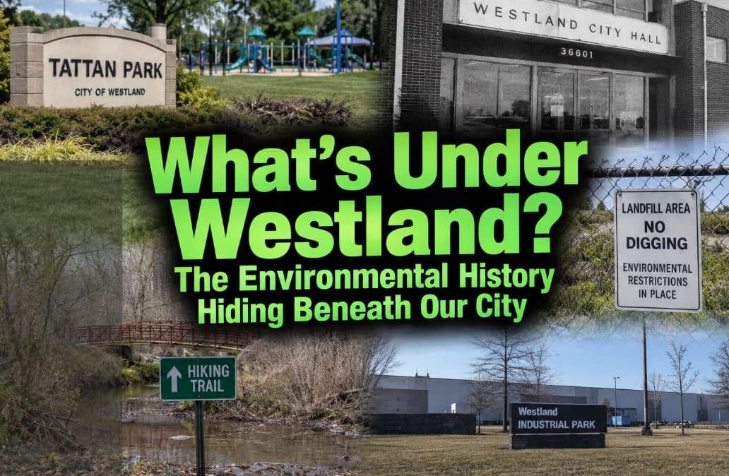
What’s Under Westland? Records Reveal a Contaminated Past Beneath Parks, Former Dumps and Other Properties
Most people walking through Westland's parks probably don't spend much time wondering what's underneath their feet.
We didn't either.
Then we started looking through old City of Westland financial reports, federal environmental records and current Michigan contamination investigations.
What we found surprised us.
Central City Park was once closed because of environmental contamination. Part of the neighboring Tattan Park area was redeveloped over former landfill material using environmental controls. The address of the old Westland City Hall still appears in federal Superfund records.
Elsewhere in Westland, two former landfill properties are currently listed by the State of Michigan in its PFAS investigation database.
One of them contains a recreational hiking trail.
The other was redeveloped as an industrial park.
And groundwater contamination exceeding Michigan cleanup criteria has been found at both.
So the question became bigger than one park.
How much of Westland has an environmental history most of us know nothing about?
Central City Park really was closed because of contamination
This isn't a rumor.
It's in the City of Westland's own financial records.
A City financial report states plainly:
“Central City Park has been closed due to environmental contamination since 2007.”
The report says Westland and Wayne County worked with engineers to develop a remediation plan and eventually reached a shared agreement requiring Westland to contribute approximately $1.115 million toward the work.
That alone caught our attention.
Today, this is hardly forgotten land.
Westland's current park system identifies Tattan Park/Central City Park as one of the city's major recreation areas. Tattan Park is a 10-acre park at 1901 N. Carlson with the H2O Zone, playground, Farmers Market, soccer fields, skate park and basketball court. The city regularly holds community events there.
So what happened between a park being closed for contamination and families playing there today?
Remediation.
That's an important word in this story.
Contaminated land doesn't necessarily have to remain fenced off forever. Depending on the contamination and property, engineers can remove contaminated material or isolate it from people and the environment through barriers, caps and other controls.
That is part of the history of this area.
Then there's the old Westland City Hall
Here's where things get strange.
The U.S. Environmental Protection Agency's Superfund records contain an entry called:
WESTLAND CITY HALL
The address is 36601 Ford Road.
The old City Hall building is gone, but that address remains significant. A 2019 City of Westland parks map identifies both Thomas H. Brown Central City Park and the Concrete Jungle Skate Park at 36601 Ford Road.
EPA's historical database identifies “WESTLAND CITY HALL” as not on the National Priorities List, meaning this was not one of the major long-term Superfund sites people typically think of when they hear that word.
Instead, EPA classified it as a “Removal Only Site,” with no additional site-assessment work needed under that program.
That's an important distinction.
We're not reporting that Central City Park is an active Superfund site.
We're reporting that the federal government's Superfund records document an environmental response at the former City Hall address.
The EPA summary we've been able to locate does not provide enough information to responsibly tell residents what specifically caused that federal response.
So we're not going to make up an answer.
But that's now a question worth answering.
And the City was still warning developers about possible contamination in 2025
This isn't all decades-old history.
In 2025, Westland sought development proposals for property along Ford Road in this same broader civic area.
Deep inside the City's request for proposals is a section titled “Site Constraints.”
It says the redevelopment property “may be eligible for Brownfield incentives as a result of the potential for some contamination.”
The City also told potential developers it possessed environmental information about the property, that additional investigation might be necessary and that environmental conditions would be disclosed as required in a property transfer.
Again, that does not establish that every piece of land around Central City Park is contaminated.
But it tells us something important.
Westland knows this area has an environmental history.
What about the new Nankin Square?
This is where we want to draw a very clear line.
Nankin Square & Amphitheatre is a separate, roughly four-acre park adjacent to the current City Hall. Westland's own recreation plan describes it as a new gathering space with an amphitheater, playgrounds, food-truck area and other amenities.
We have not found evidence showing that the new Nankin Square itself is unsafe or contaminated.
In fact, before that project moved forward using federal program funds, Westland completed an environmental review.
On July 31, 2025, the City issued a formal Finding of No Significant Impact, determining that the Nankin Square/Westland City Hall Park project would have no significant impact on the human environment.
That's important.
This isn't a story claiming Westland just built a dangerous new park.
It's a story about something bigger.
Westland has a complicated environmental history, and much of it is hiding in plain sight.
Then we found the Nankin Township Landfill
Near Cowan and Warren roads, behind Wilderness Park Apartments, sits the former Nankin Township Landfill.
According to Michigan environmental officials, the roughly 17-acre property operated as a landfill from approximately 1957 to 1962, although aerial photographs suggest dumping may have occurred there during the 1940s and 1950s.
It accepted municipal waste.
It also accepted industrial waste, including waste from 3M, a company known for manufacturing PFAS.
EPA returned decades later.
During a 1994-95 cleanup, federal crews removed approximately 5,000 cubic yards of industrial waste and 350 waste drums, according to EGLE. A more recent Michigan health assessment describes 5,069 tons of waste and contaminated debris being removed. Those figures describe the cleanup differently, so we're giving you both rather than pretending they're interchangeable.
Barriers were installed to keep buried landfill material from resurfacing and to protect the area along Tonquish Creek.
Wayne County maintains those barriers.
And here's the part that may surprise residents:
A portion of this former dump is now part of the Wayne County Parks system and includes a recreational hiking trail along Tonquish Creek.
But the story didn't end with the cleanup in the 1990s.
In 2024, they went looking for PFAS
Because investigators knew the old landfill had accepted industrial waste from 3M, Michigan environmental officials decided to test it for PFAS.
Seven groundwater monitoring wells were installed in September 2024.
They found it.
The highest groundwater concentration of PFOA was 80 parts per trillion.
Michigan's residential drinking-water cleanup criterion is 8 ppt.
PFOS reached 25 ppt.
The state criterion is 16 ppt.
The discovery was significant enough that in January 2025, Michigan announced the Nankin Township Landfill as the 300th PFAS contamination site identified by the state's PFAS Action Response Team.
And this is current.
In January 2026, the Michigan Department of Health and Human Services issued a health consultation evaluating potential human exposure from PFAS in groundwater and surface water near the Westland landfill.
There is some reassuring news.
Nearby residents receive municipal water, and officials determined there are no residential drinking-water wells within a mile of the site. PFAS was detected in Tonquish Creek, but samples did not exceed the applicable surface-water criteria.
The state's current description of what's next is short:
“Continued site analysis.”
In other words, this one isn't just history.
Then there's National Airport
There's another former landfill in Westland that many residents may never have heard about.
Michigan calls it the National Airport site, near Superior Parkway and Willow Creek, south of Ford Road.
The property was historically part of an approximately 180-acre private airport that operated from the 1940s through 1980.
But between 1958 and 1965, approximately 25 acres were used as a municipal landfill.
Buried drums were discovered during an earlier investigation. Surface drums were removed, methane was addressed and the property was eventually redeveloped into an industrial park.
Then came something much more recent.
In September 2023, a restrictive covenant involving Ford Motor Company, 3M and the City of Westland was finalized for the affected property.
It restricts installation of drinking-water wells, prohibits future construction on the affected site and requires maintenance of a 24-inch cap.
Then investigators tested for PFAS.
The results were considerably above Michigan's criteria.
The highest PFOS concentration reported was 340 ppt, compared with Michigan's 16 ppt criterion.
PFOA reached 200 ppt, compared with the state's 8 ppt criterion.
And here's something even more current.
Michigan officials identified nearby drinking-water wells and sent sampling requests to residents. A March 2026 state presentation says five letters were sent to residents and one to a commercial property, but nobody responded to the sampling request at that point.
The state still lists National Airport in its PFAS investigation inventory.
So how many contaminated places are there in Westland?
We wanted to give you a number.
Something simple like:
“Westland has 12 contaminated sites.”
We can't responsibly do that.
There isn't one master government list that tells the entire story.
EPA has federal CERCLA records.
Michigan has Part 201 environmental sites.
It separately tracks leaking underground storage tanks.
Brownfields can have their own records.
Some properties have restrictive covenants or other institutional controls.
Michigan maintains a separate PFAS investigation database.
And a single property can appear in more than one system.
What we can document right now is enough to show that this isn't isolated.
Michigan's current PFAS inventory alone lists two Westland sites: Nankin Township Landfill and National Airport.
EPA records include the old Westland City Hall and several other historical Westland environmental responses we've identified during this investigation.
And the City's own records document the environmental cleanup of Central City Park.
So instead of throwing a number at you that might be wrong, we're going to keep digging.
Why does Westland have this history?
Look at the dates.
The Nankin Township Landfill operated roughly from the 1950s into the early 1960s.
The National Airport landfill operated from 1958 to 1965.
Westland itself wasn't incorporated as a city until 1966.
A lot of this history predates the Westland we know today.
Municipal garbage and industrial waste were disposed of under environmental standards very different from modern ones.
Then Westland grew.
Homes went up.
Businesses arrived.
Industrial parks were developed.
Recreation areas were created.
And decades later, environmental testing became capable of finding contaminants such as PFAS at concentrations measured in parts per trillion.
That's why something buried 60 or 70 years ago can suddenly become a story in 2026.
This story isn't meant to scare you away from a Westland park
We want to be especially clear about that.
Finding contamination in groundwater beneath an old landfill is not the same thing as proving people using the land above it are being exposed.
Finding landfill material beneath a remediated property isn't the same thing as saying the property is unsafe.
Caps, barriers, restrictions and monitoring exist specifically to control those risks.
And the environmental review for the new Nankin Square found no significant impact on the human environment.
But residents should be able to know what's underneath their community.
They should know where old dumps were located.
They should know which sites remain under investigation.
They should know where environmental restrictions exist.
And when public land was once contaminated, they should be able to easily find out what was cleaned up, what remains underground and who is responsible for making sure those protections continue to work.
That's where this story leaves us.
Not with panic.
With questions.
How many former dumps existed in what is now Westland?
How many contaminated properties have been redeveloped?
Which sites still have contamination underground?
Where are caps, barriers or land-use restrictions still required?
Who inspects them, and how often?
And perhaps the simplest question of all:
What's underneath Westland?
We're going to keep looking.
Read the records yourself
These aren't anonymous claims or social media posts. The records we used are public.
City of Westland 2010 financial report documenting the Central City Park environmental cleanup
City of Westland 2025 Ford Road redevelopment document discussing potential contamination
Westland's 2025 Nankin Square environmental finding
Michigan's Nankin Township Landfill PFAS investigation
2026 Michigan health assessment for the Nankin Township Landfill
Michigan's National Airport PFAS investigation
Michigan's current PFAS sites and areas of interest database